 |
| What's New | Links | FAQ | Contact |

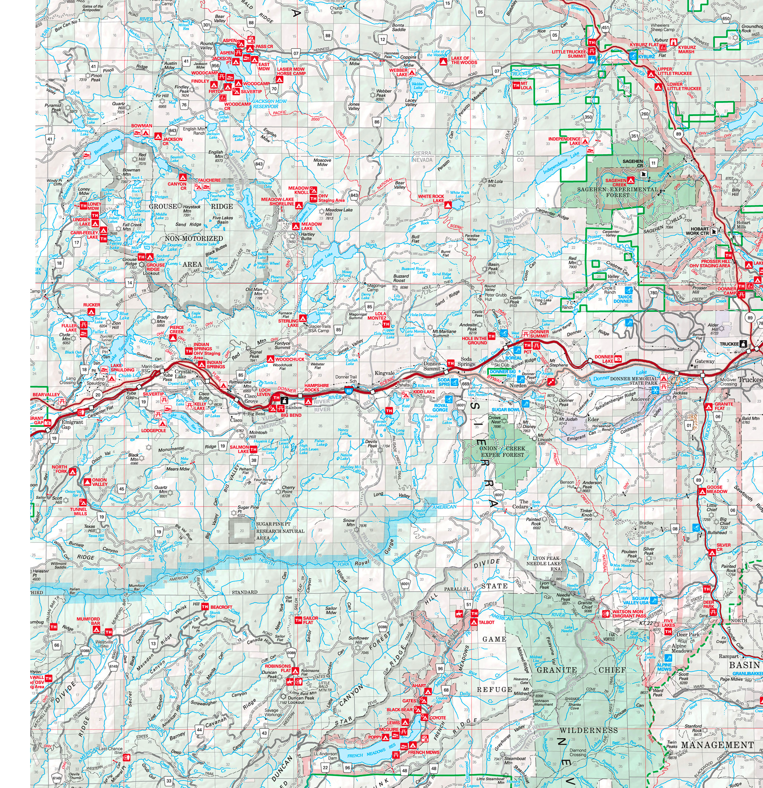
GPS Track Suggested Parking Park Map: Highlighted Original Topographic Map Park Website Photos |
Hole-in-the-Ground Loop 59% SINGLETRACK26% FIRE ROAD15% ROAD 
Hole-in-the-Ground Trail is one of the most frequently recommended mountain bike ride options around Lake Tahoe. I don't know much about the origin of this trail, but one book mentions that it was built around 1998 and was initially one of the well-kept mountain biking secrets of the area. The wording seems to imply that the trail was built primarily with biking in mind, which doesn't surprise me, because it's barrels of fun. The location of the ride is on the roof of this stretch of the Sierra Nevada, a stone's throw from Donner Pass. The geology of this area appears to be dominated by exposed granite bedrock. The practical upshot of this is that the name of the game here is "rocky". Even "downhill" progress frequently requires significant effort. One of the things I like about the ride is that, while it's very technical, it's almost never scary. Though there will be plenty of instances during the ride where you might be forced off your bike by rocky trail features that seem to require some trials skills, with the exception of the stairs on Lola Montez Lake Trail near the end of the ride, I don't remember any spot on the ride where the steepness of a technical descent gave me pause. There were plenty of rock steps that I didn't feel I could roll down (and certainly not jump off), but nothing at a sustained steep grade. The ride's location also means that the scenery is quite grand. The area is surrounded by bare, rocky peaks, the most prominent of which is Castle Peak, which you get to admire from up close during the first couple of miles of trail mileage you cover after Castle Peak Road. Still, the scenery is not a constant accompaniment on the ride. You see most of it during the second quarter of the ride's mileage. The rest of the time, the trail is either following a dished landscape that restricts your view or the moderate tree cover breaks up the view. While there aren't any jagged peaks that populate the ride's backdrop other than Castle Peak, the area is also liberally sprinkled with alpine ponds and small lakes. These are often jewel-like bodies of water in granite basins. Two such lakes are easily accessible from the ride (if you don't count Hole-in-the-Ground): Lower Lola Montez Lake is visited in the second half of this ride route, and Sand Ridge Lake is close to the northern tip of the loop. Incidentally, the trail gets its name from a small pond near the western tip of this loop, which is not visited by the trail itself. I haven't looked for it during the ride but if there's a path leading to it, judging by the topographic map, it must be branching off the ride route shortly before the junction with the connector to Lower Lola Montez Lake. I've read this route described as suitable for "strong intermediate riders". That's true, if by "suitable" you mean they will be pushed close to their limits, which is what happened to me here. I dithered between a 9 and a 10 for the technical difficulty rating of this ride. The sets of stairs encountered in the second half of the Lola Montez Lake Trail finally tipped the balance in favor of a 10 for me. There will be no shortage of advanced riders who will, no doubt, find this excessive. It's worth remembering, however, that a 10 on my difficulty scale is not supposed to represent the most technical trail possible, but merely the most technical trail that I could ever hope to be able to ride myself, to which this ride comes pretty darn close. It shouldn't come as a surprise that a ride in this kind of a location has no shortage of stream crossings. Most of these don't ford wide creeks and they are all very tame. The odd exception is actually the crossing of Lower Castle Creek that you encounter on a gravel-road segment of Lola Montez Lake Trail. The bottom of that crossing consists of pretty large, round rocks, and its not easy to maintain enough momentum to get to the other side. However, coming as it does less than two miles before the end of the ride, it wouldn't be the end of the world if this crossing were to leave you with wet shoes and socks. Given the elevation of the the ride, I probably don't need to tell anyone that this ride route will have snow cover during the height of winter. I'm not sure about the exact dates during which snow can be expected, but a sign I saw on Castle Peak Road prohibiting roadside parking between November 1st and April 1st should probably serve as a clue. Speaking of elevation, another question to be asked about a ride that takes between 6500 and 8000 feet in elevation would be whether the lack of oxygen will be a factor. If it had any effect on me, it wasn't very obvious. It was hard to distinguish how much of the ride's additional difficulty is from the struggle against the ever-present rocky trail features and how much is from any reduction in the oxygen level. The route you see on this page traverses Hole-in-the-Ground Trail as part of a loop, which seems to be the most typical way of riding this trail. I've read that some do this ride as a shuttle ride. This won't allow you to eliminate too much of the climbing on the ride. It will only remove the Bunny Hill Drive climb from the ride and leave out the paved mileage. To do it as a shuttle ride, you leave one car near the fire station on Sherrit Lane and then drive to the trailhead at the end of Castle Peak Road to start riding there. My preference for the starting point was based on a preference to leave as little climbing to the end of the ride as possible. Starting near the Boreal Mountain Resort would mean that you need to finish your ride with 500 more feet of elevation gain than you do with this route. For that reason, I opted to start near Soda Springs by parking in a roadside clearing. There are multiple wide clearings on this stretch of Donner Pass Road that don't appear to be associated with any adjoining business or residence. If that stretch of road doesn't work out for you, Sherrit Lane may also offer some possibilities. Meanwhile, those who intend to start the ride from the trailhead on Castle Peak Road should also be aware of the seasonal parking restrictions I've mentioned above. The ride begins on pavement, by heading east on Donner Pass Road. The turn onto Bunny Hill Drive is unsigned and easy to miss. Unless there's someone with you who knows the way or you're carrying a GPS on which the route is plotted, you'd do well to check out the photos of this junction on this ride's photo set. There's one unmarked split in the early part of Bunny Hill Road, but the "private property" sign can be your cue in deciding which prong to avoid there. After that, you simply keep following the straighter option in any junction you encounter, until you reach the paved parking area near the Boreal resort. Part of Bunny Hill Drive was in the form of a rocky and partially rutty fire road climb during my ride, which provided an early dose of fun. You return to pavement near the Boreal Mountain Resort and stay on it until you get to the trailhead at the end of Castle Peak Road. What starts from this trailhead is a fire road that maintains a gentle to moderately steep climb. You arrive at Hole-in-the-Ground Trail one mile into this climb. Hole-in-the-Ground starts out with a switchbacking climb that I would qualify as "tough but sane". This singletrack climb is almost completely non-technical and is the only sizable segment of this trail where this is true. There is no shortage of small humps paved with turf blocks along this stretch, and there are spots that zigzag in a manner that seems geared only for fun. Incidentally, while the presence of turf blocks is most prevalent on this extended climb, their use at sensitive spots on the trail continues all the way to the end of the trail. The climb at the beginning of Hole-in-the-Ground Trail brings you to the shoulder of a ridge labeled as "Andesite Ridge" on the map. The end of this climb near Andesite Peak is the highest point of the ride as well as the part of the ride with the most open scenery, so it couldn't hurt to stop a little around here to take it all in before starting the short and fun descent down a knife's-edge ridgetop toward Castle Pass. This is a technical descent that's milder than what's to come in the later parts of the ride and, therefore, has a more continuous flow. A big chunk of the ride's mileage takes place on the "plateau" that can be seen on the elevation plot. This long stretch frequently consists of negotiating dense boulder fields and includes plenty of bumpy riding that's only occasionally broken up by short segments that could be described as smooth forest singetrack. The next cluster of boulders never seems to be more than a few seconds away here. In the second half of the ride route, shortly before the 10-mile mark, you suddenly start a sustained descent. For me, this was a part of the ride where some flow was restored in my progress. This part of the ride is simply fantastic! As much as I appreciate the fun challenge of negotiating boulder fields at constant average elevation, this pronounced descent along with the 1.5-mile descending segment that immediately followed the highest point of the route stick out in my mind as the two most fun portions of this ride. The grade of that downhill segment peters out toward the end and, once again, you find yourself threading through a few boulder fields. This is the stage of the ride where you pass near Lower Lola Montez Lake. You will miss the lake if you simply continue on your way on the main trail. You need to take a short connector to get to it. In case you don't feel much like adding more mileage to your ride at this point after eight miles of technical singletrack and are inclined to bypass the lake, don't. No matter how low your expectations are of the beauty of the lake, the connector trail leading to it is such a short one that it would simply be a waste to come all this way and not take a quick peek even if you've seen plenty of similar lakes before. This is a typically pretty alpine pond with a glassy surface and a perimeter lined with picture-perfect conifer trees. The part of the trail after the lake is labeled as Lola Montez Lake Trail in several places, though a lot of recent maps seem to label the entire trail as Hole-in-the-Ground Trail. (I'll keep using the former designation.) This section of the ride temporarily turns into a descent on a gravel road through a private property before being diverted onto a singletrack segment of Lola Montez Lake Trail again, which is not optional. This segment of the trail begins with a bang, in the form of a quick descent, and then gets even more intense than that as it transforms into a series of tall wooden steps. This is the "stairs" segment that I've mentioned above. Much of this section was clearly above my pay grade. A couple of steep stretches of tall wooden steps are followed by an even worse staircase of intimidating rock steps. The trail then settles down a bit and the rest of it was mostly rideable to me, but this still qualifies as one of the most technical segments of the ride. That "stairs" singletrack segment ends when it connects you to another dirt road that you'll need to follow. After fording Lower Castle Creek on that road at the lowest elevation point of the ride, you tackle the ride's last significant climb, which lasts for less than half a mile. The very end of the trail mileage on the route greets you with a choice between finishing the ride on a gravel road and following one last short segment of singletrack. The route you see represented on this page uses the singletrack. Frankly, I can't say this last quarter mile of singletrack before reaching Sherrit Lane is worth it. If you feel like you need to maximize your trail mileage on the ride, go ahead and use this last singletrack segment too. However, it does climb more than the road does and it doesn't add to the ride anything that you haven't had gobs of earlier. It would be pretty sensible to simply end your descent on the road instead. © Ergin Guney
Comments: blog comments powered by Disqus |