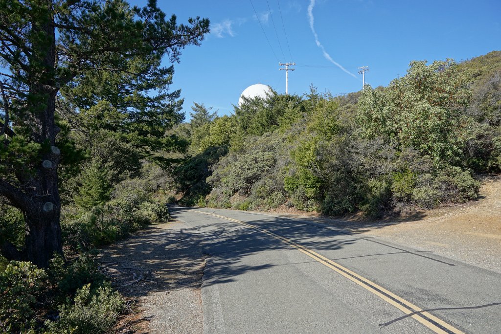
Ridgecrest Boulevard at the highest elevation of the ride. What's probably a radar dome in the FAA/USAF facilities on the West Peak of Mount Tamalpais is visible over the trees.